Friday, May 31, 2013

Worton Creek to Chesapeake City, no, Delaware City

We left Worton Creek Thur. morning in what was another beautiful day. Planned a short 3.5 - 4 hour trip to Chesapeake City. Again the bay was flat as a lake and light winds. We were again making over 8 knots with the current. Here are some shots of the shoreline in the northern bay.


Here is a manufactured park with a view!


As we approached the C&D (Chesapeake & Delaware) canal we heard a radio broadcast that the canal was closed because they were stretching cables across it. We proceeded on and just as we got to the entrance they open it for 20 minutes. We still had the current with us and it was early so we decided to continue on to Delaware City on the other end.

 Chesapeake City.

 A railroad lift bridge.

Delaware City is a nice stop. The town is very small but Tim and staff at the marina are great. We had a 5:15 meeting with Tim to discuss the weather in the bay for departure tomorrow and decided to head out. Ann wants to spend her birthday in Cape May, NJ.
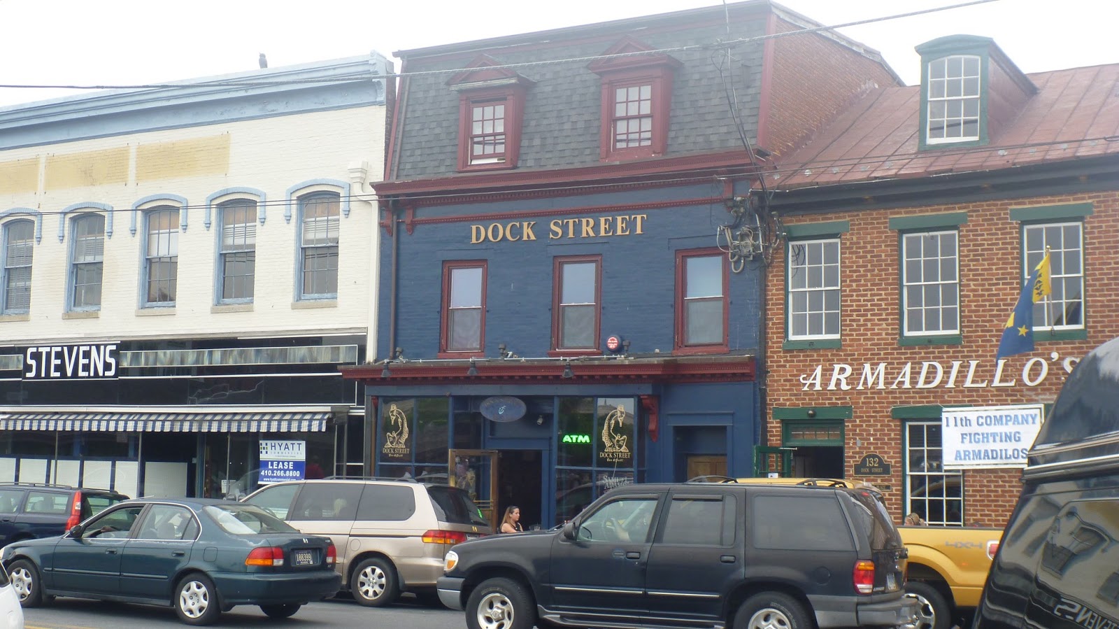
 The Delaware City Marina.

 In the hotel.

The main street!

Thursday, May 30, 2013

Annapolis to Worton Creek

We woke up yesterday in Annapolis to a beautiful sunrise.


The trip to Worton Creek on the eastern shore couldn't have been better. Almost flat water and light winds. We had the current behind us most of the way. Leaving Annapolis you pass by the Naval Academy and later cross under the Chesapeake bay bridge.


Really cruising at 9.0 kts. with the    current!
Wharf at Handy's Creek. No phone & no internet.


Planning for tomorrow.


Check-in/OK message from SPOT Charis

Charis
Latitude:39.57179
Longitude:-75.59023
GPS location Date/Time:05/30/2013 13:12:11 EDT

Message:This is a SPOT Check-in/OK message. Ken & Ann are fine and having fun!

Click the link below to see where I am located.
http://fms.ws/CG0LT/39.57179N/75.59023W

If the above link does not work, try this link:
http://maps.google.com/maps?f=q&hl=en&geocode=&q=39.57179,-75.59023&ll=39.57179,-75.59023&ie=UTF8&z=12&om=1

Charis

You have received this message because Charis has added you to their SPOT contact list.

Ready for Adventure
FindMeSPOT.com

Wednesday, May 29, 2013

Check-in/OK message from SPOT Charis

Charis
Latitude:39.28162
Longitude:-76.16959
GPS location Date/Time:05/29/2013 13:09:41 EDT

Message:This is a SPOT Check-in/OK message. Ken & Ann are fine and having fun!

Click the link below to see where I am located.
http://fms.ws/CFBgA/39.28162N/76.16959W

If the above link does not work, try this link:
http://maps.google.com/maps?f=q&hl=en&geocode=&q=39.28162,-76.16959&ll=39.28162,-76.16959&ie=UTF8&z=12&om=1

Charis

You have received this message because Charis has added you to their SPOT contact list.

Ready for Adventure
FindMeSPOT.com

Great day in Annapolis

Today we head north again. We had a great day in Annapolis yesterday. In the morning we took the water taxi in and walked over to the Naval Academy for a guided walking tour. The academy sits on about 330 acres and has the second largest dormitory in the world. It's footprint is 33 acres. It was a very informative tour and well worth the $10. We toured the sports center, the yard as they call the campus, the dorm, the rec center and John Paul Jones cript.

The dorm.

John Paul Jones


Just before entering the chapel we got a call from the people who installed our thruster and had to return to the boat. The thruster had not worked when we left so they had come to look at it. A half hour later and one control board it was fixed. We put everything back in place and headed back to the academy to continue our tour.

The superintendent's home.

windows in the chapel


We also visited an exhibit on the naval contribution to the war of 1812 and then to the Naval history museum. Very interesting and educational. After leaving we wandered through the streets of historical Annapolis and saw many of the old homes. Eventually we settled in at Pusser's on the water for happy hour and later dinner. Oysters Rockefeller, which Ann said were the best she had ever had, I had a chicken curry dish which was exceptionally flavorful and Ann had guess what? A crab cake. We had a great view of Charis just a short distance away.


Sunrise 29 May 2012


Tuesday, May 28, 2013

On the way!

Our original plan was to leave Tue. (today). The weather was looking good and all the projects were completed. Well checking the weather on Sat. the chance of thunderstorms came into the picture and on Sun. they increased. So Ann and I talked Sun. evening and decided that we didn't have to get away early on Mon. but if we could get the last few things done then Mn. would be our best window. That turned out to be right. We had a beautiful 7 hour trip to Annapolis. Waves less than 1' and very light winds.

Our last sunrise in Solomons!
The admiral really does more than give orders!

Smooth water.


 Thomas point light house just south of Annapolis.


We arrived in Annapolis at 335 pm which made for a 7 hour trip against the current. We picked up a mooring ball in the main field just off the end of the city dock and ego alley.


The view!

in another direction.


 We took the water taxi into town and hunted down the little pub that we had crab cakes in last year. If you remember my postings last year, Ann loves her crab. Here is the Dock Street pub. We got a table outside and the crab cakes were still as good as the memory.


 Cadets enjoying ice cream after dinner. We will tour the Naval Academy today.
 This is the city dock which is just an alley off the main harbor. We met another looper Eddy Johnsen aboard Spiritus at the dock.

Charis on the ball.

Monday, May 27, 2013

Check-in/OK message from SPOT Charis

Charis
Latitude:38.97580
Longitude:-76.48380
GPS location Date/Time:05/27/2013 15:39:35 EDT

Message:This is a SPOT Check-in/OK message. Ken & Ann are fine and having fun!

Click the link below to see where I am located.
http://fms.ws/CDgtF/38.97580N/76.48380W

If the above link does not work, try this link:
http://maps.google.com/maps?f=q&hl=en&geocode=&q=38.97580,-76.48380&ll=38.97580,-76.48380&ie=UTF8&z=12&om=1

Charis

You have received this message because Charis has added you to their SPOT contact list.

Ready for Adventure
FindMeSPOT.com

Sunday, May 12, 2013

Happy Mother's Day!

Today is Sunday, 12 May. Happy Mother's Day!

To bring you up to date now. A week ago Saturday we walked up to the Calvert Maritime Museum as they has a free day.

 Here is the museum as seen from our dock.


 Some old restored MG's on the walk over.


There was a huge display of old outboards, steam engines and wooden boats at the museum.


This is our boat shed as seen from the museum.

We had a great time going through the museum and strolling the grounds.

Monday we took off by car to Norfolk to the AGLCA (America's Great Loop Cruisers Ass.) spring rendezvous. We attended many seminars that covered cruising this northern half of the loop. We also ran into old friends from previous rendezvous and made some new ones. Boat cards were exchanged and we should be leaving Solomons as many are passing through and heading north. I think they said there were 65 boats in attendance.


While we were gone the electrician installed my new chart plotter, VHF/AIS radio, XM Satellite weather and HD radar.